Hunter NSW
Commercial Drones

About Us
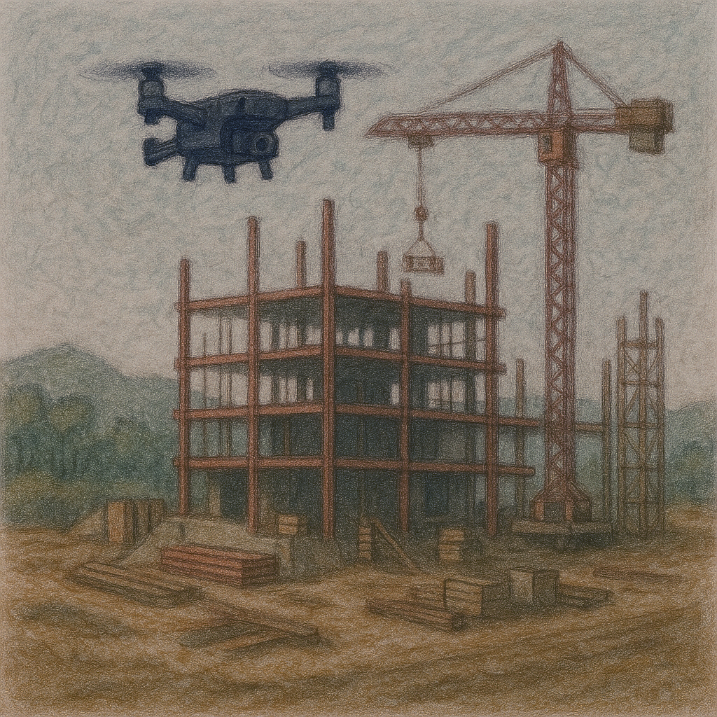
Northshed is the missing piece for construction, environmental, and
surveying firms that need drone capabilities without the cost and
complexity.
We act as your on-demand, in-house drone team, handling everything from specialized
equipment to advanced flight planning. We take care of the operational headaches
so you can focus on what matters: winning more tenders and delivering projects
on-time.
Based in the Hunter region, with our services extending across all of NSW.
Capabilities
Fully Insured, Certified, and Field-Ready.
Our
Chief Remote Pilot, Jayden, brings a unique blend of skills from videography,
software development, emergency services, and surveying. This diverse background
ensures we understand your project needs from every angle.
- Commerical Drones
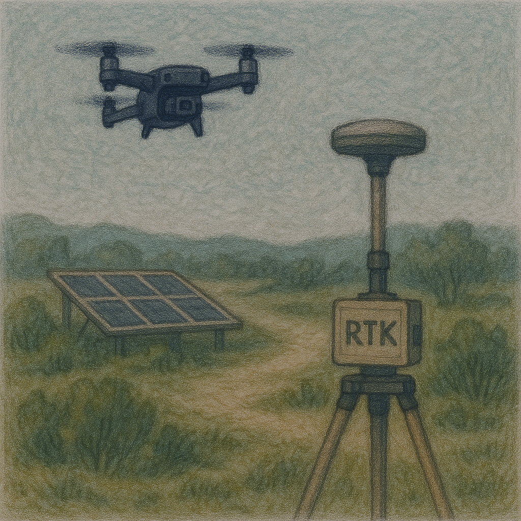
We use a enterprise-grade fleet, including the DJI Matrice 4E + base station for precise survey data and the DJI Matrice 4T for advanced thermal and spotlight inspections. - Advanced Licensing
We operate under a full ReOC, RePL, and AROC, allowing us to conduct complex operations like night flying and close-proximity flights in sensitive areas. - Comprehensive Insurance
We carry all necessary insurance to provide you with complete peace of mind on every project.
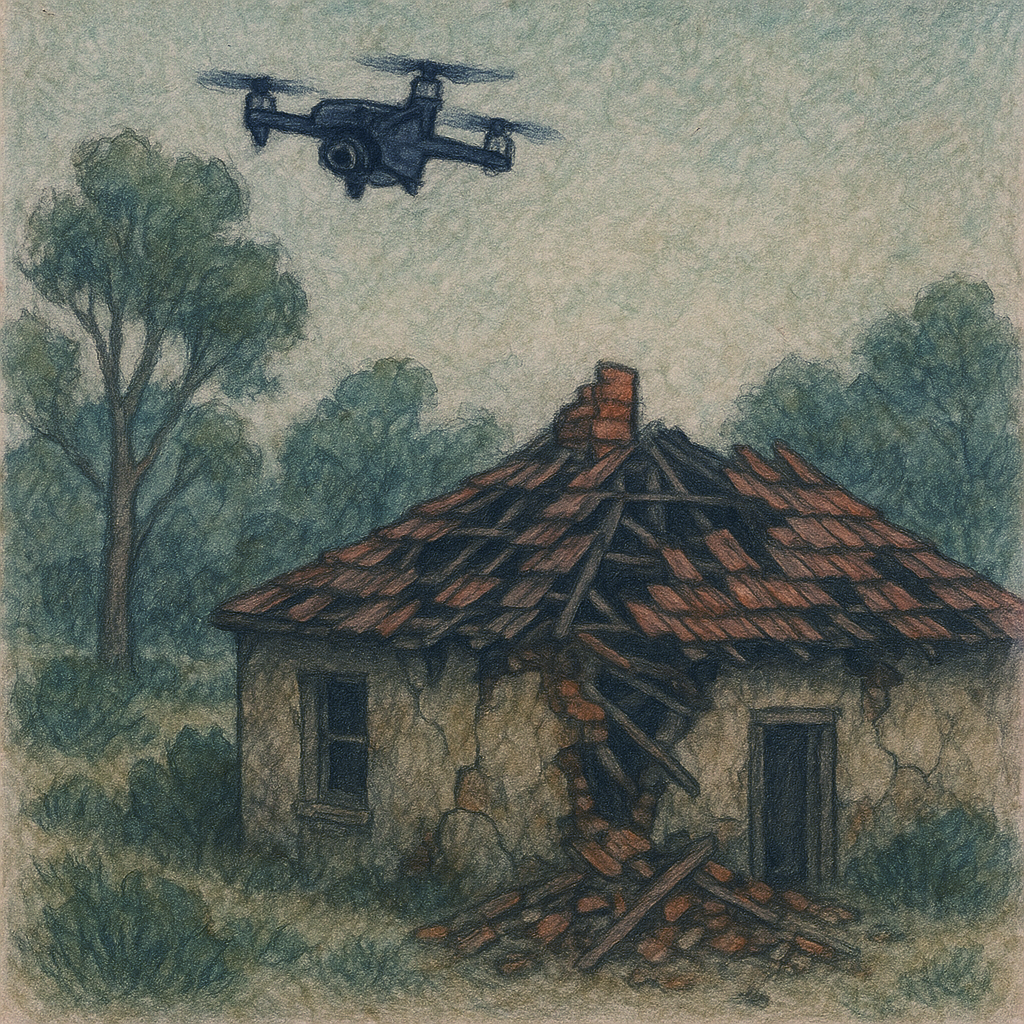
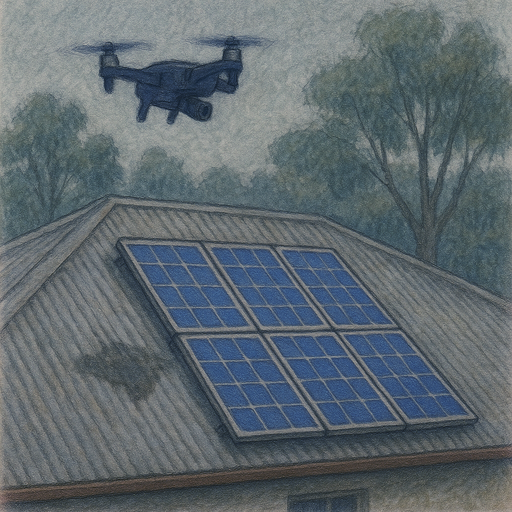
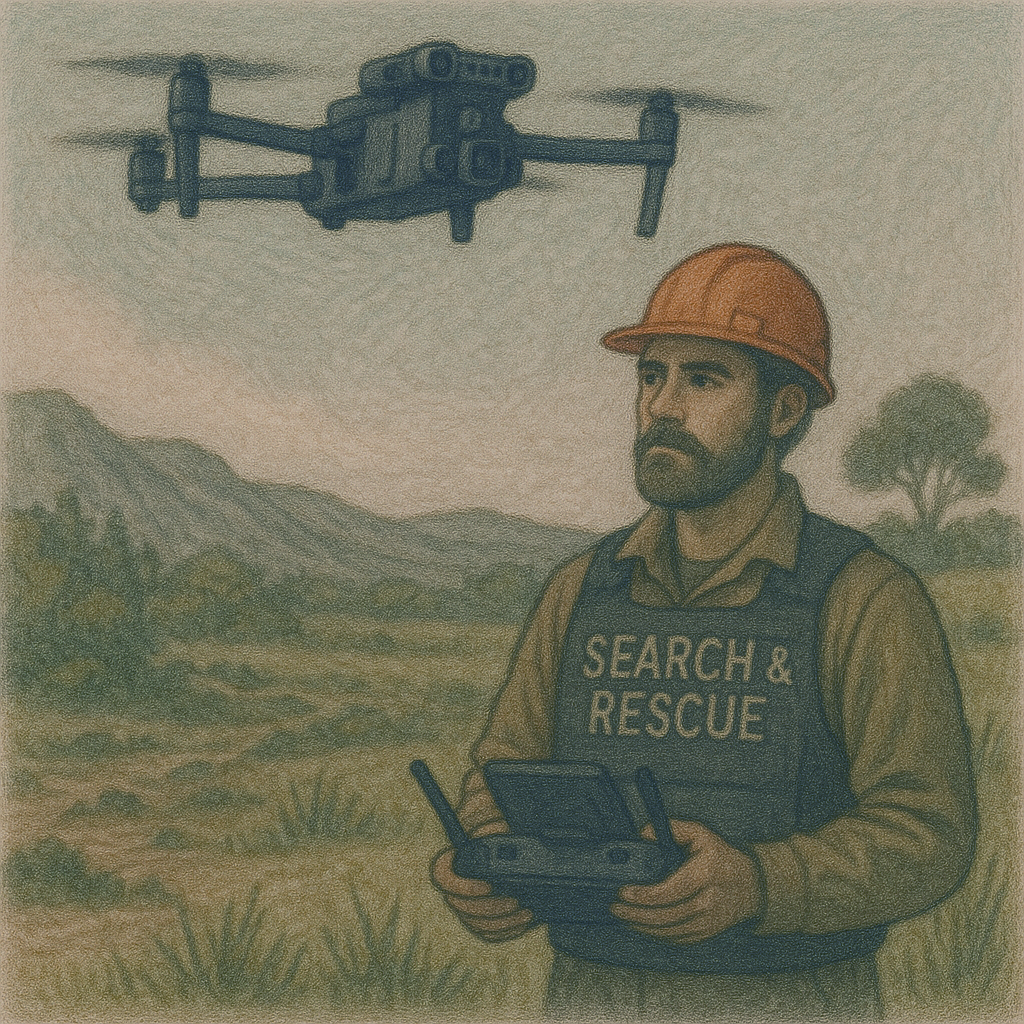
Commerical Drone Services
Northshed provides a range of drone solutions tailored to meet the unique needs of our clients across NSW.